Living Breakwaters in High-Energy Environments: Modeling Circulation around a Remnant Submerged Breakwater
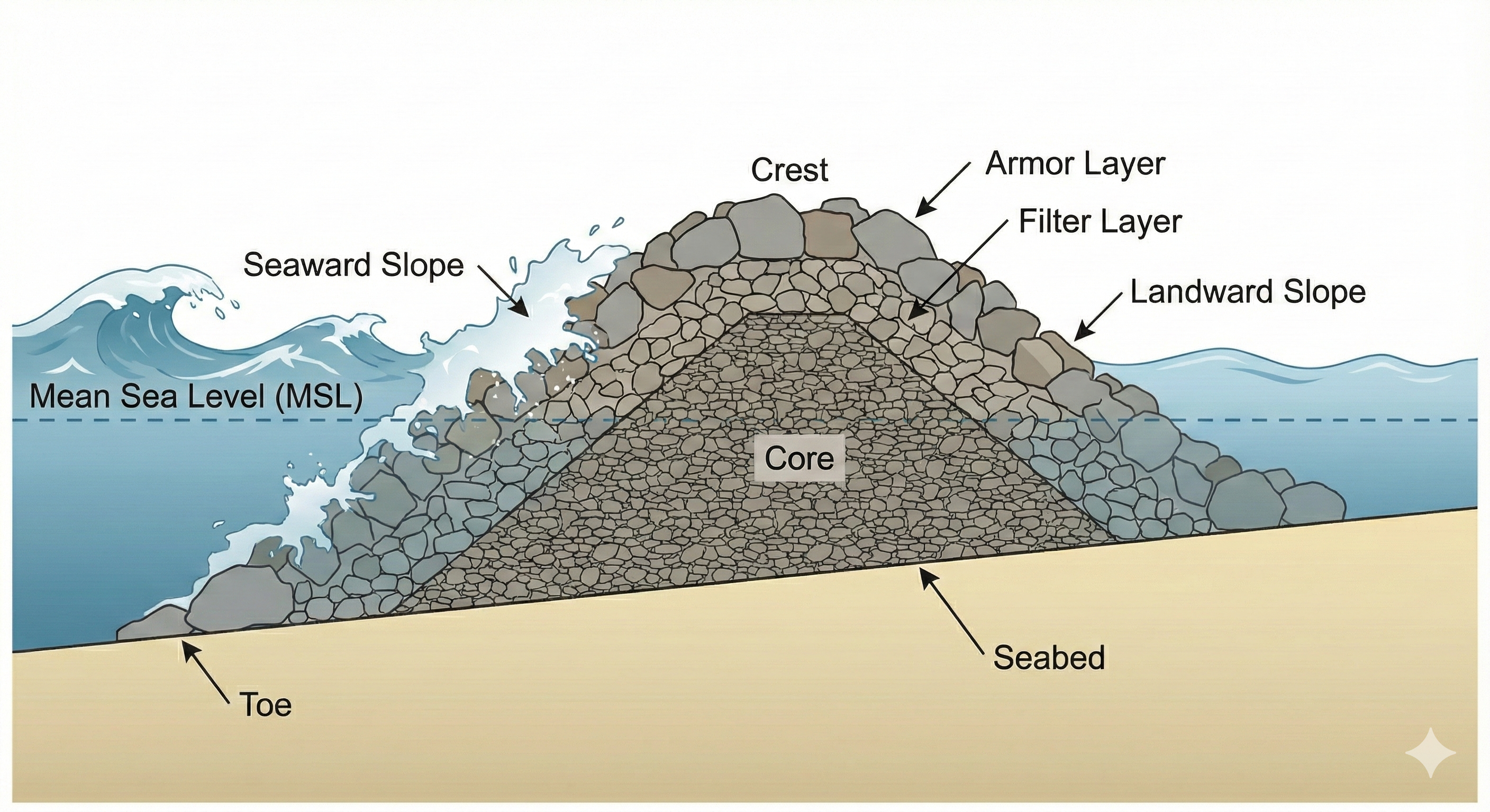
Santa Monica's emerged breakwater was toppled by a storm in 1983. What remains is a submerged rubble mound that still shapes the surfzone. Using a coupled SWAN–FUNWAVE-TVD–Delft3D framework and a TVD passive-tracer model, the project quantifies how infragravity motions and wave-shadow trapping influence near- field residence time and pollutant fate — design knowledge for the next generation of hybrid "living" breakwater retrofits.
Collaborative work —
Conducted with co-authors Bernabe Gomez (UCLA / University of Gibraltar) and
Timu Gallien (UCLA Coastal Flood Lab), and supported by the field crew of the
Coastal Flood Lab, The Bay Foundation and the City of Santa Monica.
- Water-level model skill0.99
- Wave-driven currents (FUNWAVE)0.92 – 0.93
- Field deploymentNov 2024 — Jan 2025
- Funded byThe Bay Foundation · Award 24-08